File:Port Townsend Washington fog waterfront.jpeg
Size of this preview: 800 × 532 pixels. Other resolutions: 320 × 213 pixels | 640 × 425 pixels | 1,024 × 681 pixels | 1,280 × 851 pixels | 1,739 × 1,156 pixels.
Original file (1,739 × 1,156 pixels, file size: 567 KB, MIME type: image/jpeg)
This is a file from the Wikimedia Commons. Information from its description page there is shown below.
Commons is a freely licensed media file repository. You can help. |
| This is an image of a building or other location within the Port Townsend Historic District in Port Townsend, Washington, listed on the National Register of Historic Places with reference number 76001883. This is independent of any NRHP listing for individual buildings in the district. |
|
This is an image of a place or building that is listed on the National Register of Historic Places in the United States of America. Its reference number is 76001883. |
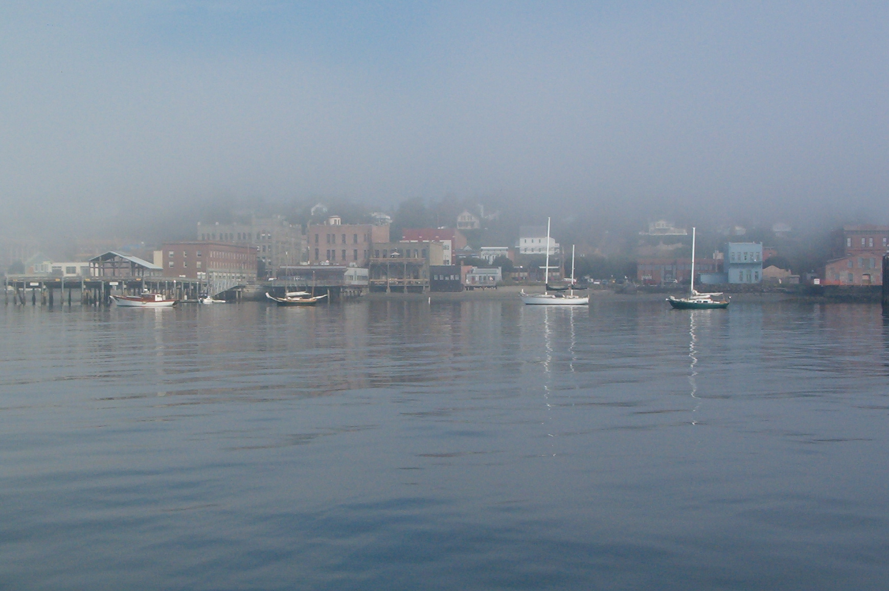
View of a portion of the waterfront of Port Townsend, Washington, USA, on a bright but foggy morning.
Digital photograph taken 14 August 2005. Uploaded by the photographer.

|
Permission is granted to copy, distribute and/or modify this document under the terms of the GNU Free Documentation License, Version 1.2 or any later version published by the Free Software Foundation; with no Invariant Sections, no Front-Cover Texts, and no Back-Cover Texts. A copy of the license is included in the section entitled GNU Free Documentation License. |
| This file is licensed under the Creative Commons Attribution-Share Alike 3.0 Unported license. | ||
| ||
| This licensing tag was added to this file as part of the GFDL licensing update. |
| Annotations | This image is annotated: View the annotations at Commons |
| Object location | | View this and other nearby images on: OpenStreetMap |
|---|
File history
Click on a date/time to view the file as it appeared at that time.
| Date/Time | Thumbnail | Dimensions | User | Comment | |
|---|---|---|---|---|---|
| current | 05:17, 25 August 2005 | | 1,739 × 1,156 (567 KB) | Cdc~commonswiki | View of a portion of the waterfront of Port Townsend, Washington, USA, on a bright but foggy morning. Digital photograph taken 14 August 2005. Uploaded by the photographer. {{GFDL}} |
File usage
The following page uses this file:
Global file usage
The following other wikis use this file:
- Usage on de.wikipedia.org
- Usage on fr.wikipedia.org
- Usage on gl.wikipedia.org
- Usage on pl.wiktionary.org
- Usage on pt.wikipedia.org
- Usage on zh.wiktionary.org